Aeronautical Chart Users Guide for Navigational Services
Enhance your flying experience and ensure accurate navigation with our comprehensive Aeronautical Chart Users Guide. A must-have for all pilots, this guide provides crucial information and instructions to effectively interpret and utilize aeronautical charts for navigational purposes. Designed to support you in planning and executing your flights, this user-friendly guide is an indispensable companion for both seasoned aviators and students.
Unleash the Power of Aeronautical Charts
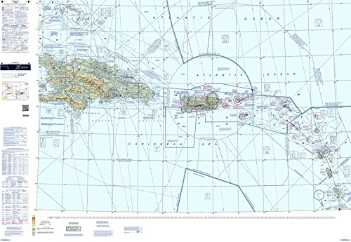
Our Aeronautical Chart Users Guide equips you with the knowledge and skills to effectively decipher a wide range of aeronautical charts, including sectional charts, IFR enroute charts, helicopter route charts, and many more. Learn how to identify airspace boundaries, interpret symbols and colors, understand terrain elevation, and access vital information such as airports, radio frequencies, and navigation aids. With step-by-step instructions and real-world examples, you'll master the art of chart reading and navigate the skies with confidence.
The Ultimate Pilot's Resource
Designed by industry experts, our Aeronautical Chart Users Guide is continually updated to keep pace with the latest changes and advancements in navigational services. Whether you're a private pilot, commercial airline captain, or flight instructor, this guide will serve as your ultimate reference, helping you stay informed about airspace regulations, chart symbology, and communication protocols. Invest in your flying skills and safety by adding this invaluable resource to your pilot supplies today.